Back to Network

5
Shared Docs
5
Same-Page
6 / 5
Mentions
Document Mentions (5 shared documents)
3 mentions1 same-page
Page ?Same page
us) was seen off both the Christmas Cove and southern dock site. Methods The NOS St. John and St. Thomas Habitat map Tile 16 (Figure 6.06.1) of the Great St. James area shows the colonized rock pavement and bedrock as well as the offshore seagrass beds. The seagrass beds are not as continuous near the sh
Coastal Zone Permit to construct two docks, one of which is a combination dock and barge landing and a temporary barge landing to provide access to Great St. James Island. A temporary barge landing is being proposed on the northwestern facing beach. This site is to the west of the sand pond and the assoc
can approach and land on the end of the dock while vessels can dock along the "L.". The existing dock in Shallow Bay which is not permitted by the USACE in its current configuration will be removed upon completion of a usable new dock. It is understood that your approval of the renewal must be first
2 mentions1 same-page
Page ?Same page
t. Jim, LLC is seeking to construct two docks, one of which is a combination dock/ barge landing, and a temporary barge landing to provide access to Great St. James Island. There is currently a small pile-supported dock located within Shallow Bay on the north side of the island. The bay is very shallow an
hed. Their qualifications statement will also be in the Appendix of the revised EAR. Letter: The removal of the dock which was not permitted by the USACE is now descripted in the EAR section 5.00. These areas are highlighted for ease of review in the revised EAR. The following has been added to the l
2 mentions1 same-page
Page ?Same page
t. Jim, LLC is seeking to construct two docks. one of which is a combination dock/ barge landing, and a temporary barge landing to provide access to Great St. James Island. There is currently a small pile-supported dock located within Shallow Bay on the north side of the island. The toy is very shallow and
f the shallowness of the bay. The dock was constructed by the previous owner despite not receiving the federal permit and notices were issued by the USACE requesting the removal of' the unpermitted structure. The dock however was never removed. The applicant, understands the issues with the existing do
Sponsored
2 mentions1 same-page
Page ?Same page
us) was seen off both the Christmas Cove and southern dock site. Methods The NOS St. John and St. Thomas Habitat map Tile 16 (Figure 6.06.1) of the Great St. James area shows the colonized rock pavement and bedrock as well as the offshore seagrass beds. The seagrass beds are not as continuous near the sh
the shallowness of the bay. The dock was constructed by the previous owner despite not receiving the federal permit and notices were issued by the USACE requesting the removal of the unpermitted structure. The dock however was never removed. The applicant, understands the issues with the existing do
2 mentions1 same-page
Page ?Same page
ts when they were surveyed. The southern ramp has been removed. Methods The NOS St. John and St. Thomas Habitat Map Tile 16 (Figure 6.06.1) of the Great St. James area shows the colonized rock pavement and bedrock as well as the offshore seagrass beds. The seagrass beds are not as continuous near the sh
the shallowness of the bay. The dock was constructed by the previous owner despite not receiving the federal permit and notices were issued by the USACE requesting the removal of the unpermitted structure. The dock however was never removed. The applicant understands the issues with the existing doc
Sponsored
Mutual Connections (356)
Entities connected to both Great St. and USACE
Jeffrey Epstein
PERSON16 w/ Great·18 w/ USACE
EK
Erika Kellerhals
PERSON12 w/ Great·14 w/ USACE
U.S. Virgin Islands
LOCATION16 w/ Great·8 w/ USACE
St. Croix
LOCATION3 w/ Great·20 w/ USACE
Kingshill
LOCATION2 w/ Great·16 w/ USACE
Richard Kahn
PERSON5 w/ Great·11 w/ USACE
Great St. James
ORGANIZATION11 w/ Great·3 w/ USACE
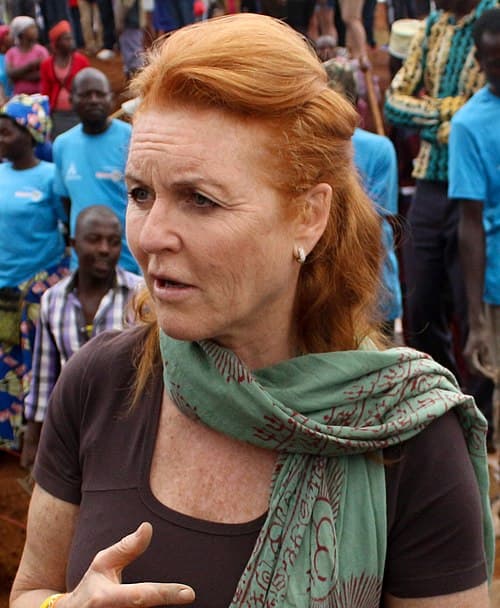
Sarah Ferguson
PERSON7 w/ Great·5 w/ USACE
Shallow Bay
LOCATION5 w/ Great·7 w/ USACE
Christmas Cove
LOCATION6 w/ Great·5 w/ USACE
National Marine Fisheries
ORGANIZATION5 w/ Great·5 w/ USACE
FK
Ferguson Kroblin
PERSON7 w/ Great·3 w/ USACE
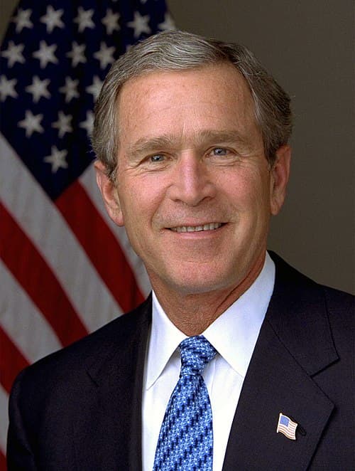
George W. Bush
PERSON6 w/ Great·3 w/ USACE
DI
Darren Indyke
PERSON6 w/ Great·2 w/ USACE
Division of Coastal Zone Management
ORGANIZATION5 w/ Great·2 w/ USACE
William Barr
PERSON5 w/ Great·2 w/ USACE
Stragglers
ORGANIZATION3 w/ Great·3 w/ USACE
Dendrogyra
LOCATION3 w/ Great·3 w/ USACE
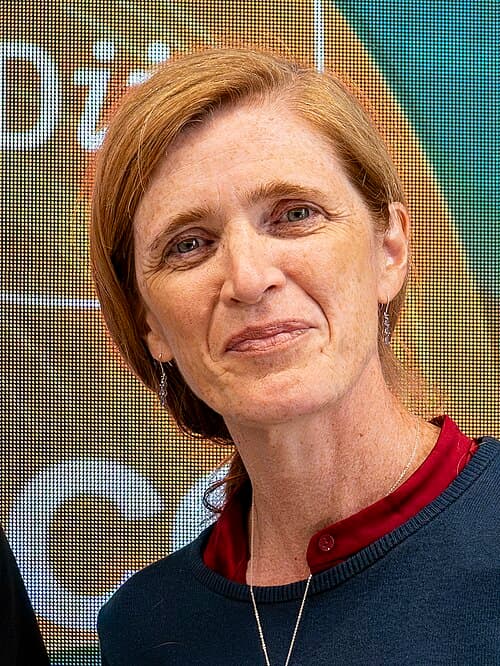
Samantha Power
PERSON4 w/ Great·2 w/ USACE
St. John
LOCATION4 w/ Great·2 w/ USACE