Back to Network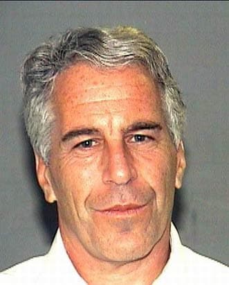


5
Shared Docs
5
Same-Page
5 / 6
Mentions
Document Mentions (5 shared documents)
3 mentions1 same-page
Page ?Same page
The dock has been designed so that barges can approach and land on the end of the dock while vessels can dock along the "L.". The existing dock in Shallow Bay which is not permitted by the USACE in its current configuration will be removed upon completion of a usable new dock. It is understood that your a
us) was seen off both the Christmas Cove and southern dock site. Methods The NOS St. John and St. Thomas Habitat map Tile 16 (Figure 6.06.1) of the Great St. James area shows the colonized rock pavement and bedrock as well as the offshore seagrass beds. The seagrass beds are not as continuous near the sh
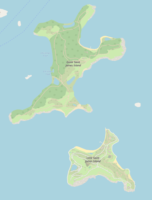
Coastal Zone Permit to construct two docks, one of which is a combination dock and barge landing and a temporary barge landing to provide access to Great St. James Island. A temporary barge landing is being proposed on the northwestern facing beach. This site is to the west of the sand pond and the assoc
2 mentions1 same-page
Page ?Same page
e landing, and a temporary barge landing to provide access to Great St. James Island. There is currently a small pile-supported dock located within Shallow Bay on the north side of the island. The bay is very shallow and vessels accessing the dock have damaged the shallow seagrass beds within the bay. At o
t. Jim, LLC is seeking to construct two docks, one of which is a combination dock/ barge landing, and a temporary barge landing to provide access to Great St. James Island. There is currently a small pile-supported dock located within Shallow Bay on the north side of the island. The bay is very shallow an
2 mentions1 same-page
Page ?Same page
ge landing, and a temporary barge landing to provide access to Great St. James Island. There is currently a small pile-supported dock located within Shallow Bay on the north side of the island. The toy is very shallow and vessels accessing the dock have damaged the shallow seagrass beds within the bay. At on
t. Jim, LLC is seeking to construct two docks. one of which is a combination dock/ barge landing, and a temporary barge landing to provide access to Great St. James Island. There is currently a small pile-supported dock located within Shallow Bay on the north side of the island. The toy is very shallow and
Sponsored
2 mentions1 same-page
Page ?Same page
e landing, and a temporary barge landing to provide access to Great St. James Island. There is currently a small pile-supported dock located within Shallow Bay on the north side of the island. The bay is very shallow and vessels accessing the dock have damaged the shallow seagrass beds within the bay. At o
us) was seen off both the Christmas Cove and southern dock site. Methods The NOS St. John and St. Thomas Habitat map Tile 16 (Figure 6.06.1) of the Great St. James area shows the colonized rock pavement and bedrock as well as the offshore seagrass beds. The seagrass beds are not as continuous near the sh
2 mentions1 same-page
Page ?Same page
e landing, and a temporary barge landing to provide access to Great St. James Island. There is currently a small pile-supported dock located within Shallow Bay on the north side of the island. The bay is very shallow and vessels accessing the dock have damaged the shallow seagrass beds within the bay. At o
ts when they were surveyed. The southern ramp has been removed. Methods The NOS St. John and St. Thomas Habitat Map Tile 16 (Figure 6.06.1) of the Great St. James area shows the colonized rock pavement and bedrock as well as the offshore seagrass beds. The seagrass beds are not as continuous near the sh
Sponsored
Mutual Connections (365)
Entities connected to both Shallow Bay and Great St.
Jeffrey Epstein
PERSON15 w/ Shallow·16 w/ Great
EK
Erika Kellerhals
PERSON11 w/ Shallow·12 w/ Great
U.S. Virgin Islands
LOCATION6 w/ Shallow·16 w/ Great
Great St. James
ORGANIZATION6 w/ Shallow·11 w/ Great
Christmas Cove
LOCATION9 w/ Shallow·6 w/ Great
St. Croix
LOCATION10 w/ Shallow·3 w/ Great
FK
Ferguson Kroblin
PERSON5 w/ Shallow·7 w/ Great
USACE
ORGANIZATION7 w/ Shallow·5 w/ Great
Sarah Ferguson
PERSON5 w/ Shallow·7 w/ Great
National Marine Fisheries
ORGANIZATION5 w/ Shallow·5 w/ Great
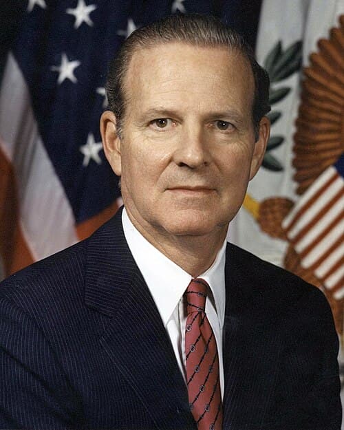
James Baker
PERSON2 w/ Shallow·8 w/ Great
Kingshill
LOCATION8 w/ Shallow·2 w/ Great
Division of Coastal Zone Management
ORGANIZATION4 w/ Shallow·5 w/ Great
Jean-Pierre Oriol
PERSON4 w/ Shallow·4 w/ Great
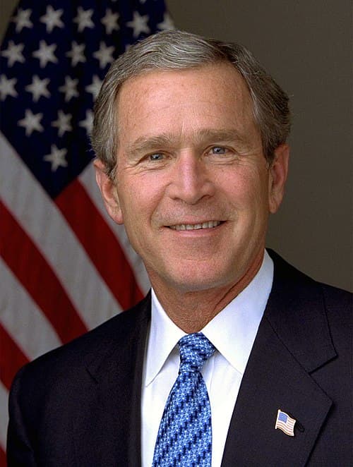
George W. Bush
PERSON2 w/ Shallow·6 w/ Great
Royal Palms Professional Building
ORGANIZATION3 w/ Shallow·5 w/ Great
GREAT ST
ORGANIZATION4 w/ Shallow·3 w/ Great
the Government of the Virgin Islands
LOCATION4 w/ Shallow·3 w/ Great
Richard Kahn
PERSON2 w/ Shallow·5 w/ Great
William Barr
PERSON2 w/ Shallow·5 w/ Great