Back to Network

3
Shared Docs
3
Same-Page
4 / 3
Mentions
Document Mentions (3 shared documents)
3 mentions1 same-page
Page ?Same page
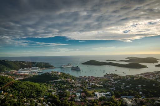
up to 1.3ft (IRF 1977). There are no notable locally driven tidal currents due to the lack of confinement within the area. NOAA has a tide gauge in Charlotte Amalie which is a southern exposure which has been recording water levels since 1975. The high tide recorded on September 18, 1989 (Hurricane Hugo) was +3
ording water levels since 1975. The high tide recorded on September 18, 1989 (Hurricane Hugo) was +3.35ft, and in 1995 during Hurricane Marilyn the Charlotte Amalie tide station recorded the highest tide height 3.98ft above Mean Lower Low Water (MLLW). The lowest tide recorded was on February 6, 1985 and was -1
ST JAMES ISLAND RED HOOK QTR. OWNER'S NAME KJAER, CHRISTIAN Taxes have been researched up to and including 2016 CERTIFIED TRUE AND CORRECT BY LUDENCE ROMNEY TAX COLLECTOR ,C1L 7-nATURE 11/04/2016 DATE EFTA00802618 GOVERNMENT OF THE UNITED STATES VIRGIN GLANDS OFFICE OF THE LIEUTENANT GOVERNOR D
2 mentions1 same-page
Page ?Same page
mark (hereinafter collectively referred to as "Grantors") and GSJ Properties Corp., a Virgin Islands Corporation, Time Center Building, 4600 Fstate Charlotte Amalie, St. Thomas, VI 00802, (hereinafter referred to as "Grantee"). WITNESSETH: That the Grantors, for and in consideration of the sum of WAtcee. WAVWy
EGAL DESCRIPTION RED HOOK QTR. OWNER'S NAME IUAER, CHRISTIAN Taxes have been researched up to and including 2015 CERTIFIED TRUE AND CORRECT BY LUDENCE ROMNEY TAX COLLECTOR J.1/14. SIGNATURE 01/11/2016 DATE SGS0009i02 soca EFTA00805291 WARRANTY DEED THIS INDENTURE made the ?I day of January. 2016
2 mentions1 same-page
Page ?Same page
filed by the company. In Witness Whereof, I have hereunto set my hand and affix the seal of the Government of the United States Vir in Islands, at Charlotte Amalie, this 51h day of July, M. 2017. OSBERT E. POTTER Lieutenant Governor of the Virgin Islands EFTA00617535 4Es mee..• GOVERNMENT Of THE UNIGO ST
ST JAMES ISLAND RED HOOK QTR. OWNER'S NAME KJAER, CHRISTIAN Taxes have been researched up to and including 2016 CERTIFIED TRUE AND CORRECT BY LUDENCE ROMNEY TAX COLLECTOR SIGNATURE 6/28/2017 DATE EFTA00617536 (roan to WD-S) 1:011:94 Flood Plain Determination and Permit Application ru be corripkte
Sponsored
Mutual Connections (29)
Entities connected to both Charlotte Amalie and LUDENCE ROMNEY
Jeffrey Epstein
PERSON876 w/ Charlotte·2 w/ LUDENCE
George W. Bush
PERSON483 w/ Charlotte·2 w/ LUDENCE
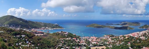
U.S. Virgin Islands
LOCATION79 w/ Charlotte·3 w/ LUDENCE
Sarah Ferguson
PERSON35 w/ Charlotte·2 w/ LUDENCE
Puerto Rico
LOCATION32 w/ Charlotte·2 w/ LUDENCE
Red Hook
LOCATION21 w/ Charlotte·2 w/ LUDENCE
EK
Erika Kellerhals
PERSON17 w/ Charlotte·2 w/ LUDENCE
St. John
LOCATION13 w/ Charlotte·3 w/ LUDENCE
Virgin Islands Corporation
ORGANIZATION10 w/ Charlotte·2 w/ LUDENCE
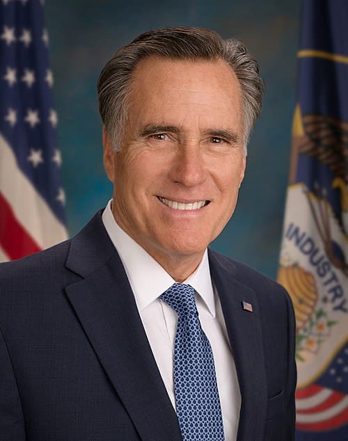
Mitt Romney
PERSON7 w/ Charlotte·4 w/ LUDENCE
Real Property Tax
ORGANIZATION4 w/ Charlotte·4 w/ LUDENCE
Office of the Tax Collector
ORGANIZATION4 w/ Charlotte·4 w/ LUDENCE
the Government of the Virgin Islands
LOCATION5 w/ Charlotte·2 w/ LUDENCE
Recorder Of Deeds
ORGANIZATION3 w/ Charlotte·3 w/ LUDENCE
KIM & NINA
ORGANIZATION2 w/ Charlotte·3 w/ LUDENCE
JK
JOHN K.
PERSON2 w/ Charlotte·3 w/ LUDENCE
JAMES ISLAND
LOCATION3 w/ Charlotte·2 w/ LUDENCE
GREAT ST
ORGANIZATION3 w/ Charlotte·2 w/ LUDENCE
Great St.
LOCATION3 w/ Charlotte·2 w/ LUDENCE
Land Uses
ORGANIZATION3 w/ Charlotte·2 w/ LUDENCE