Back to Network



3
Shared Docs
3
Same-Page
6 / 3
Mentions
Document Mentions (3 shared documents)
3 mentions1 same-page
Page ?Same page
losest point of approach to the territory on Thursday, between 3 and 4 •., when the center of the storm will be within ten miles of St. Thomas and St. John. At that time, Erika is forecast to be a tropical storm with top winds of 50 miles per hour. The National Weather Service in San Juan has projected
s projected that the Vire in g Islands will begin to feel the winds and rains from the outer bands of Erika as early as 8M. Thursday. Residents on St. John are expected to experience tropical storm force winds for an approximate eight-hour duration beginning at 2 M. Thursday. Residents on St. Thomas sh
ail.com> Subject: Tropical Storm Erika: WAPA notice Date: Wed, 26 Aug 2015 20:07:22 +0000 Begin forwarded message: From: Virgin Islands Water and Power Authority - Date: August 26, 2015 at 4:05:23 PM AST To: Subject: Keeping you informed: WAPA prepares for Tropical Storm Erika Reply-To: Having trouble vie
3 mentions1 same-page
Page ?Same page
e is Saba, about 160 km. to the east. St. John is 7 miles long and 3 miles wide for a total of 12,000 acres or 19 square miles. The oldest rocks of St. John are submarine lavas (keratophyre and spilite), beds of volcanic debris and chert. Associated intrusive rocks of the Water Island Formation is overl
e is carried downward under the Caribbean Plate. The closest volcano to the Virgin Islands that is still active is Saba, about 160 km. to the east. St. John is 7 miles long and 3 miles wide for a total of 12,000 acres or 19 square miles. The oldest rocks of St. John are submarine lavas (keratophyre and s
f 77 acres in Hansen Bay, St. John, for Flamboyant 2006- 2008 Water Quality Monitoring for the dredging of the Sand Channel for the V.I. Water and Power Authority 2006-2007 Water Quality Monitoring for the renovations to the Ritz Carlton Hotel, St. Thomas for Ritz Carlton 2006 - 2010 Environmental monitoring
Sponsored
Mutual Connections (348)
Entities connected to both St. John and Power Authority
Jeffrey Epstein
PERSON303 w/ St.·4 w/ Power
Marc Rich
PERSON62 w/ St.·2 w/ Power
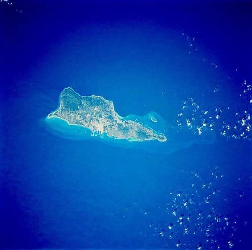
St. Croix
LOCATION50 w/ St.·4 w/ Power
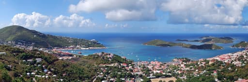
U.S. Virgin Islands
LOCATION45 w/ St.·3 w/ Power
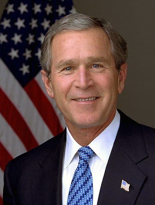
George W. Bush
PERSON28 w/ St.·2 w/ Power
Samantha Power
PERSON20 w/ St.·5 w/ Power
EK
Erika Kellerhals
PERSON22 w/ St.·2 w/ Power
Redhook
LOCATION20 w/ St.·2 w/ Power
Water Island
LOCATION17 w/ St.·3 w/ Power
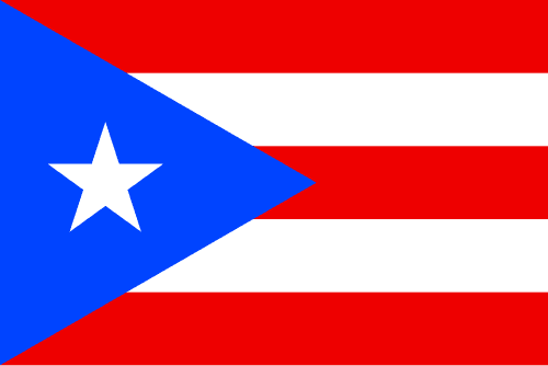
Puerto Rico
LOCATION17 w/ St.·3 w/ Power
Charlotte Amalie
LOCATION13 w/ St.·3 w/ Power
Red Hook
LOCATION13 w/ St.·2 w/ Power
San Juan
LOCATION12 w/ St.·2 w/ Power
Christiansted
ORGANIZATION11 w/ St.·3 w/ Power
Great St. James
ORGANIZATION11 w/ St.·2 w/ Power
Smith Bay
LOCATION10 w/ St.·2 w/ Power
Tortola
LOCATION10 w/ St.·2 w/ Power
Bahamas
LOCATION9 w/ St.·2 w/ Power
Frederiksted
LOCATION7 w/ St.·3 w/ Power
Virgin Gorda
LOCATION7 w/ St.·2 w/ Power