Back to Network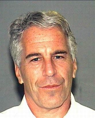

4
Shared Docs
4
Same-Page
4 / 6
Mentions
Document Mentions (4 shared documents)
3 mentions1 same-page
Page ?Same page
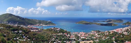
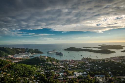
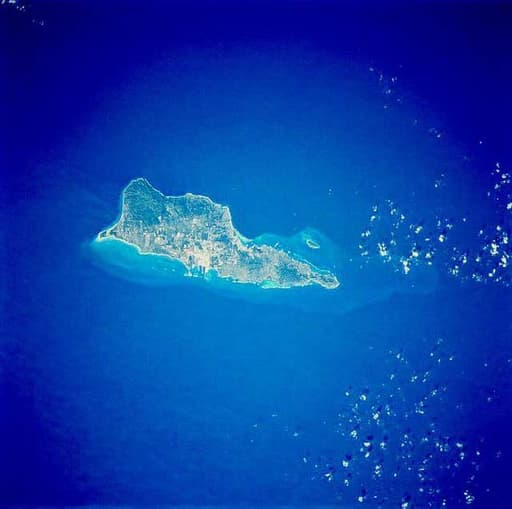
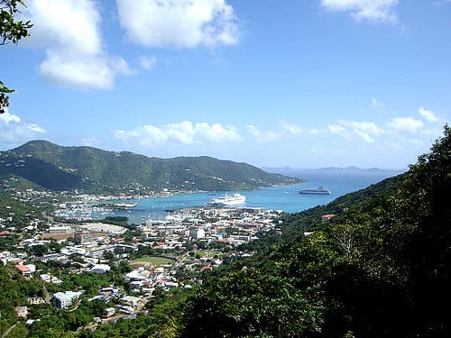
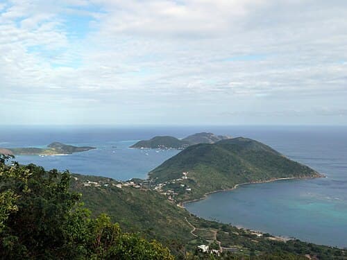
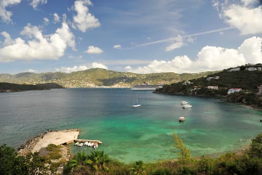
Ocean, about 90 miles (140 km) east of Puerto Rico and immediately west of the British Virgin Islands. The territory consists of four main islands: Saint Thomas, Saint John, Saint Croix, and Water Island, as well as several dozen smaller islands. The combined land area of the islands is roughly twice the siz
cted delegate, while able to vote in committee, cannot participate in floor votes. At the territorial level, 15 senators—seven from the district of Saint Croix, seven from the district of Saint Thomas and Saint John, and one senator at-large who must be a resident of Saint John—are elected for two-year ter
km) east of Puerto Rico and immediately west of the British Virgin Islands. The territory consists of four main islands: Saint Thomas, Saint John, Saint Croix, and Water Island, as well as several dozen smaller islands. The combined land area of the islands is roughly twice the size of Washington, ■. IGY
3 mentions1 same-page
Page ?Same page
TACT ADDRESS: Vitol, vim Terminal Support Services B.V. PE US Virgin Islands, •. Box 1546, 3000 BM Rotterdam. Offshore Surveys. Windfarm Permitting, Saint Thomas. US Virgin Islands BCSC Dospiva conducted a magnetometer survey, sidescan sonar, sub-bottom profiling and a single beam echosounder of the area for
c surveying, Civil Engineering, permitting, and construction administration. We have over SO employees with offices in Raleigh & Wilmington, NC, and Saint Croix, US Virgin Islands. We excel in meeting expectations, deadlines and budgets. • Multi-State Licensure in Engineering and Surveying with multiple off
ina —Joyner Marina, LLC Serenity Point Marina ICWW — Coba Ventures EFTA00802812 Bateman Civil Survey Company, PC Page 2 Limetree Bay Terminals. Saint Croix, US Virgin Islands — Hydrographic & Topographic Surveys and Subsurface Utility Engineering BCSC Dospiva was chosen to perform hydrographic and topog
2 mentions1 same-page
Page HOUSE_OVERSIGHT_018741Same page
ion Opportunity | St Thomas, USVI ee) Stan Johnson Company | THE NET LEASE AUTHORITY® HOUSE_OVERSIGHT_018740 --- PAGE BREAK --- Location Overview Saint Thomas is an island in the Caribbean Sea - directly east of Puerto Rico. Together with St. John and Water Island, St. Thomas forms a county and constituent
Page: HOUSE_OVERSIGHT_018741 →of the US Virgin Islands total. The district has a land area of 31.24 square miles. i In 1917, St. Thomas was purchased (along with Saint John and Saint Croix) by the United States for $25 million in gold, as part of a defensive strategy to maintain control over the Caribbean and the Panama Canal during the
Page: HOUSE_OVERSIGHT_018741 →Sponsored
2 mentions1 same-page
Page ?Same page
ature. The Planning and Natural Resources Department is responsible for the development of land use and urban development policy and regulations in Saint Thomas. A zoning code classifying and regulating uses, densities and constructions is currently in effect. The enforcement and management of the land use
%sr ruiltdefine, LOCATION THE U.S. US VIRGIN ISLANDS General Data - U.S. US Virgin Islands The U.S. US Virgin Islands, formed by the islands of Saint Croix, Saint John and Saint Thomas and several islets, were acquired by the United States from Denmark in 1917 for military purposes. This group of 3 isl
Sponsored
Mutual Connections (37)
Entities connected to both Saint Thomas and Saint Croix
Jeffrey Epstein
PERSON97 w/ Saint·6 w/ Saint
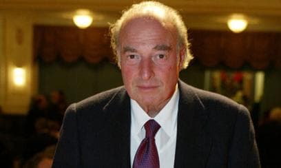
Marc Rich
PERSON15 w/ Saint·2 w/ Saint
U.S. Virgin Islands
LOCATION11 w/ Saint·6 w/ Saint
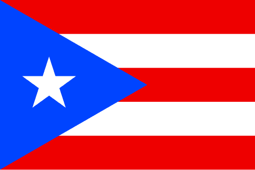
Puerto Rico
LOCATION12 w/ Saint·4 w/ Saint
Charlotte Amalie
LOCATION10 w/ Saint·4 w/ Saint
St. Croix
LOCATION5 w/ Saint·6 w/ Saint
Water Island
LOCATION5 w/ Saint·3 w/ Saint
Charlotte
LOCATION5 w/ Saint·3 w/ Saint
Caribbean
LOCATION5 w/ Saint·3 w/ Saint
St. John
LOCATION5 w/ Saint·3 w/ Saint
Saint John
LOCATION6 w/ Saint·2 w/ Saint
DB
Doug Band
PERSON5 w/ Saint·2 w/ Saint
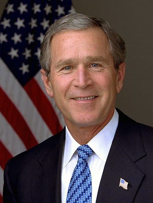
George W. Bush
PERSON4 w/ Saint·3 w/ Saint
AM
Amalie
PERSON5 w/ Saint·2 w/ Saint
Red Hook
LOCATION4 w/ Saint·3 w/ Saint
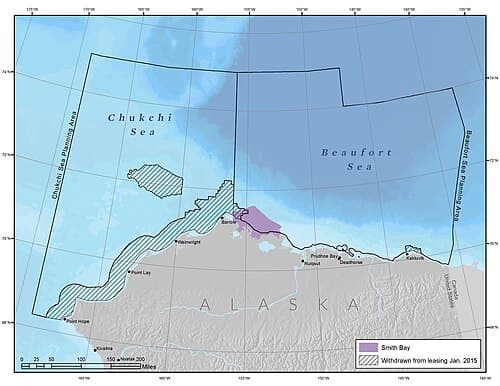
Smith Bay
LOCATION4 w/ Saint·3 w/ Saint
Tortola
LOCATION4 w/ Saint·3 w/ Saint
Virgin Gorda
LOCATION4 w/ Saint·3 w/ Saint
MF
Maria Farmer
PERSON4 w/ Saint·3 w/ Saint
Richard Kahn
PERSON4 w/ Saint·2 w/ Saint